C-GEO enables importation of survey data from geodetic instruments.
Easy and intuitive tool that can create maps with ease.
It can analyze and trace all network applications on the fly
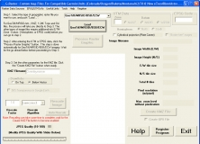
It helps you create raster Custom Maps for your Garmin GPS receiver.
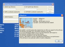
It's a software designed to convert individual coordinates entered manually.